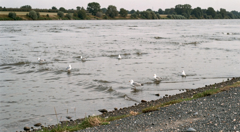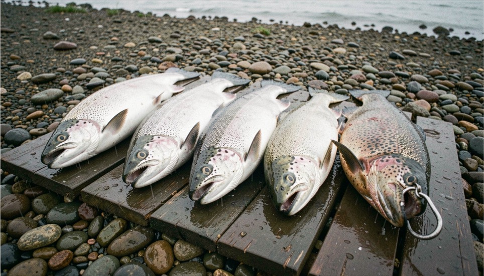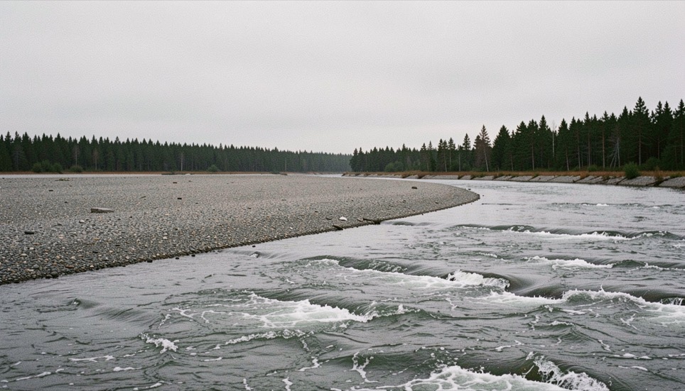
Bristol Bay is the eastern arm of the Bering Sea, and the rivers that empty into it carry one of the largest wild salmon returns left on earth. The Nushagak is one of the major systems in that drainage. What makes this place different from almost anywhere else you might fish is not the size of the run. It is that the run is counted while it happens, and that the count changes the rules within days.
Five species, one drainage
All five species of Pacific salmon return to Bristol Bay: sockeye, Chinook, chum, coho and pink. They do not arrive together and they do not behave alike. Sockeye dominate the bay by sheer number. Chinook, called king locally, are the earlier and far scarcer fish on the Nushagak. Chum overlap heavily with the kings. Coho come later and hold longer in fresh water. Pinks return in strength on alternating years rather than every year. Five salmon, five calendars takes each one in turn.
The number is made, not observed
Nobody sees the run. What exists is an estimate of escapement, the number of fish that get past the fisheries and up the river to spawn, and on the Nushagak that estimate is produced by sonar operated by the Alaska Department of Fish and Game. A count is a measurement with a method, a place and an error, not a fact of nature. Reading the water walks the whole chain: who sets the escapement goal, who counts, what the count is compared against, and what instrument the department uses when the comparison goes wrong.
Water that moves twice
The lower river and the bay are tidal, and the tidal range in Bristol Bay is among the largest anywhere. That means the water a fish is moving through changes direction and depth twice a day, and that where fish hold is partly a function of the hour rather than the place. Tides and currents is about that, and about why a spot that was obviously right in the morning can be obviously wrong six hours later.
What this section does not do
It prints no count, no escapement figure and no forecast number. Those are published daily in season by the department that produces them, they are superseded constantly, and an almanac that reprinted last year's number would be worse than useless. It names the documents instead. The same rule governs the whole site and is set out by the desk.